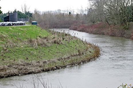
Kent residents and business owners near the Green River can soon find out how new preliminary Federal Emergency Management Agency flood insurance maps could impact them.
FEMA will present the new flood maps at an open house from 6-8 p.m. Feb. 7 at the Kent Senior Activity Center, 600 E. Smith St.
People will get a chance to review the maps that are used as the primary regulatory tool under the National Flood Insurance Program and by the insurance industry to regulate floodplain development and rate flood insurance policies.
FEMA staff members will give a short presentation and then be on hand along with representatives from the city of Kent and King County to answer questions.
The updated maps are preliminary until the completion of an appeal period and formal adoption, according to FEMA.
Residents and business owners can find out at the meeting about the map appeal process, flood insurance requirements and building regulations.
The mapped information is widely used by lending institutions and insurance agents in determining who must purchase flood insurance and the cost of that insurance should it be necessary.
In addition, the maps will be used by the county and local communities for floodplain management and permitting purposes.
For more information, call Beth Tan of the city of Kent at 253-856-5552; the King County Department of Natural Resources floodplain division at 206-296-8001; or Ted Perkins, FEMA regional engineer, at 425-487-4684.
To view the FEMA preliminary flood insurance rate maps and flood insurance study, go to
www.kingcounty.gov/environment/waterandland/flooding.
Talk to us
Please share your story tips by emailing editor@kentreporter.com.
To share your opinion for publication, submit a letter through our website https://www.kentreporter.com/submit-letter/. Include your name, address and daytime phone number. (We’ll only publish your name and hometown.) Please keep letters to 300 words or less.

