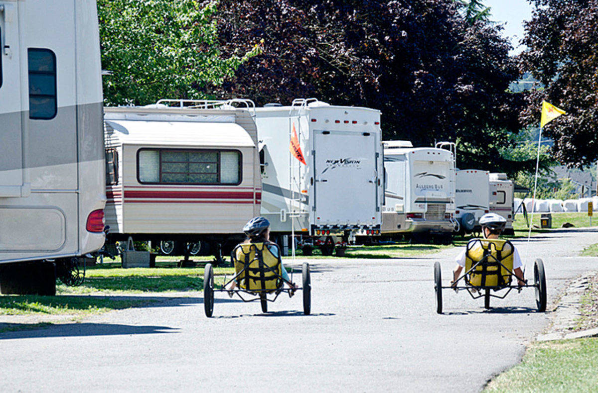
A small property swap between the city of Kent and the Seattle/Tacoma KOA campground received unanimous approval from the Kent City Council.
KOA (Kampgrounds of America), which sits along South 212th Street and Russell Road, will lose about 30 sites needed by the King County Flood Control District to expand the Lower Russell Levee along the Green River, an estimated $52 million project. KOA has 189 sites at its Kent location, which opened in 1978.
The council approved the land deal at its March 5 meeting following a public hearing. Al Johnson, executive vice president of Recreational Adventures Co., a franchisee of KOA, and the group’s attorney were the only two who spoke during the hearing.
City staff recommended in exchange for KOA’s property of about 33,866 square feet (just under 1 acre), Kent will give up 55,956 square feet of property in its Green River Natural Resources Area to allow KOA to replace its 30 campsites. The natural resources property borders the southern edge of the campground.
Because the city bought the natural resources property in 1993 with King County grants, it must replace land to be lost in the KOA exchange. The city plans to use its $55,000 purchase last year of the nearby Suh property (68,560 square feet) to meet that requirement.
The King County Flood Control District, funded by a property tax and overseen by the King County Council, will reimburse the city for its purchase of the Suh property and pay KOA to put in the new campground sites. It will cost an estimated $800,000 to construct the new sites, Johnson said in a previous Kent Reporter story.
Work is expected to start later this year on the levee improvement that includes relocating and reconstructing the city’s 10-acre Van Doren’s Landing Park; installing 1,000 feet of flood wall; moving 400,000 yards of material; moving the historic Dvorak Barn; and creating a fish habitat.
The city and flood district continue to improve numerous Green River levees in an effort to have the entire system within city limits accredited by the Federal Emergency Management Agency (FEMA) in order to remove properties behind the levee from FEMA flood maps to reduce development restrictions as well as flood insurance costs in the Kent Valley.
Talk to us
Please share your story tips by emailing editor@kentreporter.com.
To share your opinion for publication, submit a letter through our website https://www.kentreporter.com/submit-letter/. Include your name, address and daytime phone number. (We’ll only publish your name and hometown.) Please keep letters to 300 words or less.

