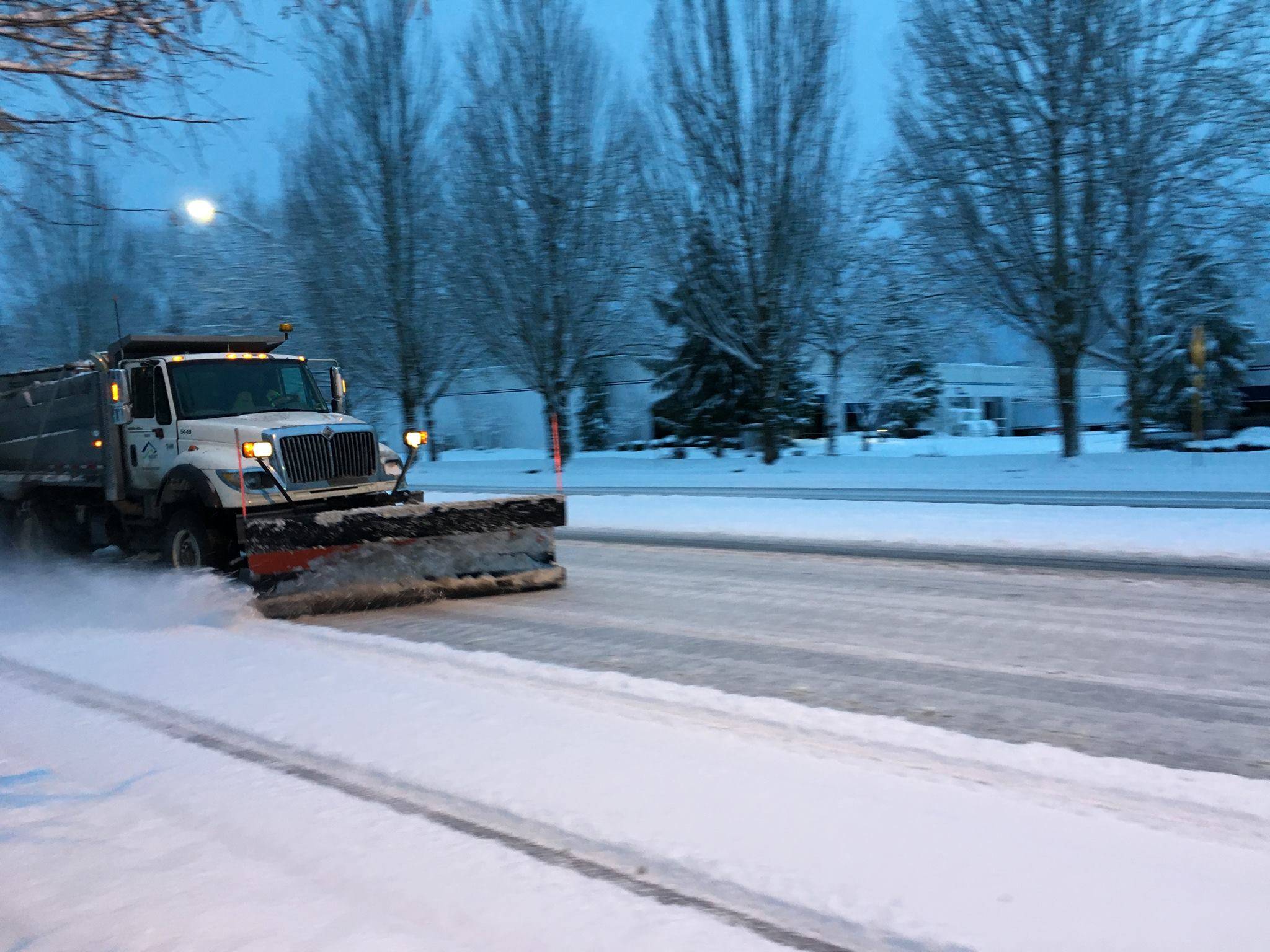
Kent, you’re powdered in white.
And bracing for the next dusting of snow.
Two more snow storms are expected to hit the Kent, the first arriving around 3 p.m. Sunday and continuing until midnight. One to 2 inches of snow accumulation are predicted, according to the National Weather Service (NWS).
A second, stronger snowstorm is expected to arrive midday on Monday, lasting to Tuesday morning. The second storm is predicted to produce another 4 to 6 inches of snow.
The Public Works Department will continue to have staff working around the clock in alternating 12-hour shifts, city officials said. Since noon Friday, snow plow drivers have focused on primary and secondary roadways. Sanding and plowing efforts will continue to be focused on primary and secondary routes through Sunday afternoon.
Once snow arrives, snow plow drivers will focus on the hill climbs of primary roadways:
• South 212th Street/212th Way/SE 208th Street, between 91st Place S and 105th Place SE
• Canyon Drive SE between East Titus Street and 101st Avenue SE
• Reith Road between Military Road South and State Route 516
• Veterans Drive between Military Road South and Russell Road South
Additional hill portions of primary routes, and approaches to signalized intersections along these routes, will be addressed when conditions allow.
With the soon-to-arrive snowstorms, roadways that are closed will remain closed. They will be closed for the Monday morning and afternoon commutes.
Roadways are still icy. Please stay off the roads and avoid driving if possible. The city will provide updates as conditions change.
Kent Police especially have warned drivers to avoid the treacherous and steep South 277 Street corridor and James Street. Both major roads, going up to the East Hill, remained closed on Saturday. Those who drive around the barriers/signs will be ticketed.
The Severe Weather Shelter will be open Sunday night through Monday morning at 7. If the city extends shelter hours, it will share that information as soon as it is available.
For more information and regular updates on road conditions, the weather, school delays and closures, etc., check out the following:
For more information on city’s snow and ice response plan, watch its latest Kent Now video on Facebook, or access the Snow and Ice Response Plan, which is reviewed and updated annually at KentWA.gov.
Pattern of storms
A storm front blew into the Puget Sound region late Friday and early Saturday, leaving another thick layer of snow to cover Kent, its hills and the rest of the Green River Valley.
According to the NWS, Kent received anywhere between 4 and 8 inches of snow following the latest storm, with reports of residents, especially those living on the East Hill, getting as much as 9 or 10 inches of it.
All of which made it difficult for city crews to keep up with plowing and servicing roads. Fallen trees and closed streets were common in parts of Kent and elsewhere.
For road closures and other road-related updates, please subscribe to Drive Kent alerts.
Talk to us
Please share your story tips by emailing editor@kentreporter.com.
To share your opinion for publication, submit a letter through our website https://www.kentreporter.com/submit-letter/. Include your name, address and daytime phone number. (We’ll only publish your name and hometown.) Please keep letters to 300 words or less.

